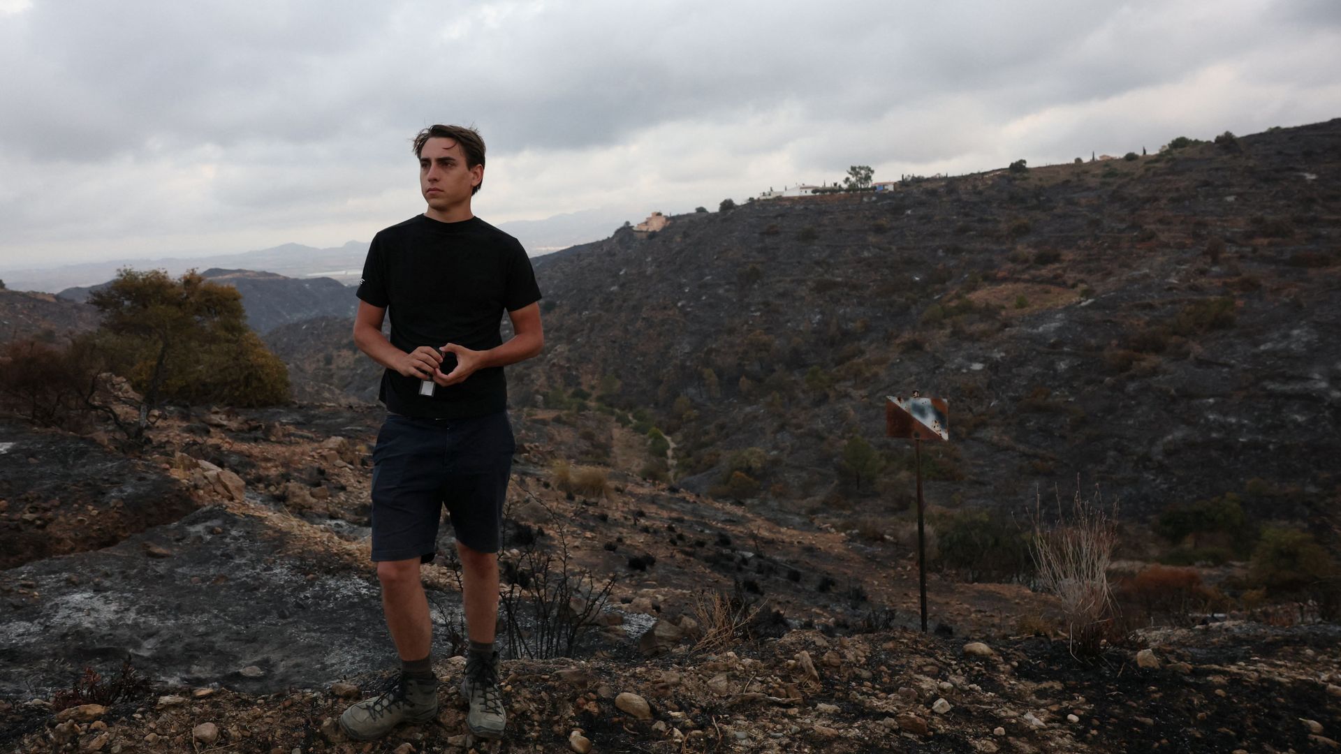
The fatal breakdown of emergency response during catastrophic wildfires exposes a systemic failure mode: the disconnect between bureaucratic compliance and operational efficacy. When municipal authorities claim that evacuation protocols were executed and citizens maintain they received no actionable alerts, the contradiction is rarely a matter of simple fabrication. Instead, it represents a structural failure in the data transmission pipeline. Emergency management systems frequently rely on centralized broadcast metrics that measure output rather than reception, assuming that sending an alert is functionally equivalent to informing a population. This structural blind spot guarantees catastrophic failure when high-velocity fire fronts intersect with complex topography and fragmented communication networks.
To understand why civilian casualties persist despite advanced meteorological tracking, we must evaluate the entire lifecycle of an emergency alert through an engineering lens. The efficacy of an early warning network is determined by a sequence of dependencies: threat detection latency, institutional decision velocity, transmission throughput, and civilian reception verification. A failure at any single node reduces the entire system's utility to zero.
The Information Asymmetry in Emergency Telemetry
The core tension between institutional accounts and civilian reality originates from how data is collected and validated during an active crisis. Authorities rely on telemetry from cellular towers, satellite imagery, and automated dispatch logs. If a system log indicates that an SMS or cell-broadcast signal was deployed to a specific geographic sector, the administrative requirement for notification is classified as fulfilled.
This creates an operational illusion of safety. The structural flaw in this model lies in the difference between network coverage maps and actual device state. In a rapidly advancing wildfire, physical infrastructure degrades before the fire front arrives.
- High thermal stress damages localized fiber-optic backhauls.
- Airborne particulate matter and heavy smoke attenuate radio frequencies, degrading cellular signal propagation.
- Power grid failures deactivate localized cellular transceivers, rendering high-density broadcast methods useless precisely when evacuation velocity must peak.
The civilian on the ground operates within a complete data vacuum while the command center reviews dashboards indicating successful transmissions. This information asymmetry transforms the state's warning mechanism from an active protective measure into an ex-post-facto legal shield. The metric of success must shift from "messages transmitted" to "receipts acknowledged and acted upon."
The Latency Equation in High-Velocity Evacuations
Evaluating a wildfire response requires a mathematical understanding of the relationship between rate of spread and civilian reaction time. A wildfire moving through dry fuel under high wind conditions does not propagate linearly; it advances via ember spotting, creating unpredictable, non-contiguous pockets of ignition ahead of the main front.
The time available for a civilian population to evacuate can be modeled as a strict function of fire velocity versus institutional processing speed.
$$T_{available} = \frac{D_{threat}}{V_{fire}} - (L_{detection} + L_{verification} + L_{dissemination})$$
Where $D_{threat}$ is the initial distance of the threat, $V_{fire}$ is the velocity of the fire front, and the $L$ variables represent the latency values of detection, verification, and dissemination.
When authorities state that warnings were issued hours before a casualty occurred, they often fail to account for the exponential growth of the latency variables.
Detection Latency
The delay between ignition and institutional awareness. In rural or mountainous terrain, satellite passes may occur on a multi-hour cycle, and terrestrial sensor arrays are often sparse. This creates an initial data deficit.
Verification Latency
The administrative bottleneck where raw data is cross-referenced, checked against political or economic risk thresholds, and approved for public release. Bureaucratic hierarchies naturally disincentivize early, aggressive warnings due to the perceived economic cost and political fallout of a false alarm. This hesitation consumes the narrow operational window required for orderly evacuation.
Dissemination Latency
The technical propagation time of the alert network. Legacy systems designed for sirens or linear television broadcasts fail in demographic landscapes where citizens rely entirely on asynchronous digital media. If an alert is pushed via a localized cellular broadcast, but the network queue is congested by panicked inbound and outbound traffic, the delivery latency spikes.
If the sum of these latencies exceeds the time it takes for a fire front to close the distance to a populated zone, the warning system is functionally obsolete, regardless of whether the message was eventually broadcast.
The Three Fault Lines in Modern Mass Notification Protocols
Analyses of emergency response breakdowns across multiple jurisdictions reveal three recurring failure modes within public safety architectures.
The Over-Reliance on Opt-In Infrastructure
Many regional governments employ emergency notification platforms that require citizens to actively register their mobile devices, download localized software applications, or opt into specific telecommunications registries. This design choice ignores basic user-behavior economics. Registration rates for opt-in emergency networks rarely exceed 15% to 20% of the permanent population, and drop even lower in areas with high seasonal tourism or transient workforces. By treating safety as an opt-in luxury rather than a default infrastructure standard, authorities systematically isolate the most vulnerable demographics, including the elderly and those without consistent digital literacy.
The Geofencing Precision Bottleneck
Cellular broadcasting relies on polygon-based geofencing to target specific threatened coordinates without overloading adjacent metropolitan areas. However, cell tower coverage sectors do not conform to neat geometric boundaries. A tower located outside the evacuation zone may service devices inside the zone, or vice versa. During a crisis, emergency managers frequently draw overly conservative geofences to prevent widespread panic or economic disruption in neighboring districts. This spatial precision bottleneck results in edge-case exclusions, where communities situated just outside the arbitrary digital boundary receive zero notification despite being directly downwind of the fire's trajectory.
Semantic Ambiguity and Non-Actionable Directives
An effective emergency alert must communicate three pieces of data immediately: the precise nature of the threat, the exact window for action, and a specific, clear route of egress. Official communications frequently suffer from bureaucratic dilution. Warnings utilize passive language, such as "advisories" or "monitoring situations," rather than explicit mandates. When an alert instructs citizens to "prepare for potential action" without defining the thresholds that trigger immediate flight, it shifts the burden of risk calculation onto the civilian. The individual is forced to assess complex environmental variables with zero training, leading to cognitive paralysis and delayed evacuation.
Reengineering Crisis Telemetry for Climate Realities
To eliminate the recurring failure mode where citizens are left uninformed during catastrophic events, emergency management architecture must undergo a fundamental operational redesign. The solution requires moving away from top-down, unverified broadcast models toward closed-loop, resilient communication ecosystems.
Governments must mandate the integration of reverse-channel telemetry in all public safety platforms. A mass notification should not be logged as complete until the receiving device transmits an automated, low-bandwidth acknowledgment payload back to the network. This would provide incident commanders with a real-time heat map of unreached populations, highlighting areas where network infrastructure has collapsed or where geofencing failed. Resources can then be deployed dynamically to physical extraction teams rather than operating under the false assumption of universal awareness.
Furthermore, communication networks must utilize multi-bearer routing protocols. If cellular infrastructure degrades, systems must automatically fall back to alternative transmission vectors, including satellite-to-cellular direct messaging, localized low-frequency radio triggers, and automated landline dialing arrays. Relying on a single commercial cellular network during a climate-driven emergency is an architectural anti-pattern that guarantees systematic failure.
The strategic imperative for regional safety boards is the immediate implementation of automated, trigger-based alert systems. Human-in-the-loop verification processes must be bypassed when fire velocity and proximity reach mathematically defined critical thresholds. If an array of thermal sensors or satellite vectors confirms a fire front has breached a specific geographic perimeter, the notification infrastructure must deploy alerts autonomously. Removing bureaucratic hesitation from the evacuation equation is the only mechanism available to outpace the escalating velocity of modern environmental crises.