Beijing just wrapped up a sweeping, five-day maritime operation in the deep waters east of Taiwan, deploying a 10,000-ton patrol ship alongside specialized hydrographic survey vessels to assert administrative control over a critical global shipping corridor. On the surface, the Ministry of Transport framed this June 2026 deployment of the Haixun 09 and its accompanying fleet as a routine law enforcement and traffic safety action. In reality, the operation represents a major escalation in underwater intelligence gathering. By masking a aggressive hydrographic survey as a civil safety patrol, China is systematically mapping the complex underwater topography of the Western Pacific to lock down the ultimate prize in modern naval conflict: absolute submarine dominance.
Taiwan’s Coast Guard Administration immediately condemned the operation, tracking the fleet as it moved down from Xiamen and began questioning merchant vessels. Taipei rightly identified the move as a highly calculated maneuver to establish a precedent of jurisdiction in international waters where Beijing holds no legal sovereignty. Yet looking only at the political posturing misses the real danger. The true objective lies beneath the waves. Read more on a similar subject: this related article.
The waters stretching from the steep cliffs of eastern Taiwan toward Guam form a vital acoustic corridor. For decades, the US Navy and its allies held an unchallenged advantage here because they understood the underwater terrain better than anyone else. Beijing is rapidly closing that gap.
The Hidden Geometry of Undersea Warfare
Submarine warfare is an invisible game of acoustics, geography, and thermodynamics. A commander cannot see an enemy hull; they can only listen for it. Sound travels through water in ways that change constantly depending on three volatile variables: temperature, salinity, and pressure. More reporting by Reuters highlights comparable views on the subject.
East of Taiwan, these variables are dictated by the Kuroshio Current, a powerful, fast-moving body of warm water that creates massive thermal gradients. When a patch of warm water sits on top of frigid, deep-sea currents, it creates a thermal layer. This layer acts like a mirror for sonar waves. Sound traveling up from the deep hits the underside of this layer and bounces back down, creating an acoustic shadow zone. A submarine sitting quietly beneath a sharp thermal gradient can become completely invisible to surface sonar systems.
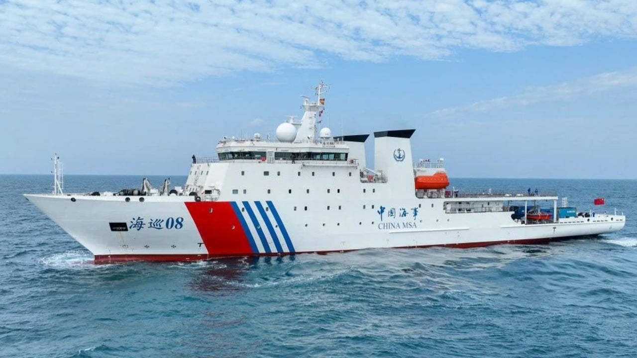
To hide a submarine or hunt an adversary, a navy must possess highly precise, real-time data on these thermal structures. That is exactly what China’s specialized survey vessels, like the Haixun 08, are pulling from the ocean. By dropping expendable bathythermographs and deploying advanced sonar arrays, these ships map the seabed and the water column simultaneously. They are converting the chaotic fluid dynamics of the Western Pacific into a predictable, digital battlespace map.
The Civil Fusion Illusion
Western intelligence agencies have watched this pattern intensify over the last few years. In 2025, civilian research ships like the Xiang Yang Hong 06 carried out dense, grid-like bathymetric surveys right up to Taiwan’s 12-nautical-mile territorial boundary. They executed identical maneuvers around Guam, carving out precise parallel lines across areas larger than the United Kingdom.
Operating under the banner of civilian ministries or academic institutions provides Beijing with an effective legal shield. Under the United Nations Convention on the Law of the Sea, marine scientific research faces restrictions within an Exclusive Economic Zone, but freedom of navigation allows vessels to pass through and collect broad environmental data in international waters. By using civilian-registered hulls instead of gray-hulled naval ships, Beijing exploits this legal gray zone. They gather high-grade military data without triggering an overt military response.
The June 2026 patrol took this strategy a step further by merging scientific data collection with administrative intimidation. While the Haixun 08 scanned the seabed, the 10,000-ton Haixun 09 actively hailed merchant ships, demanding information on their destinations. It was a dual-purpose mission: assert a legal fiction of domestic control over international shipping lanes while quietly hoarding the geographic data needed to wage a sub-surface war.
Deep Water Chokepoints and the Cable Threat
The geography of the First Island Chain leaves the People's Liberation Army Navy with a severe geographic disadvantage. The Taiwan Strait is shallow, congested, and easily monitored. For Chinese nuclear-powered ballistic missile submarines based in Hainan to reach the deep, open waters of the Pacific where they can threaten the US mainland, they must pass through narrow chokepoints like the Bashi Channel to the south of Taiwan or the Miyako Strait to the north.
Both areas are heavily monitored by allied acoustic arrays and anti-submarine aircraft. However, if a Chinese submarine can slip through those bottlenecks, the vast trenches east of Taiwan offer instant concealment. The sea floor drops off sharply into depths of over 5,000 meters. This deep water is the ultimate sanctuary for a ballistic missile submarine, provided the crew has accurate charts to avoid undersea mountains and can predict how their sonar will perform in the shifting currents.
There is another, darker reality driving this mapping push. The seabed east of Taiwan is crisscrossed by the critical fiber-optic telecommunications cables that connect East Asia to the rest of the world. In any major conflict, cutting these cables would instantly blind regional economies and disrupt military command structures.
Locating a fiber-optic cable resting on a jagged, mountainous sea floor thousands of meters down is incredibly difficult. It requires highly detailed bathymetric maps to guide unmanned underwater vehicles to the exact target. The precise hydrographic mapping executed during these operations gives Beijing the exact coordinates of this infrastructure, turning a generalized threat into an actionable target list.
The Counter-Mapping Race
Washington and Taipei are not watching this happen in a vacuum. The US Navy has operated its own oceanographic survey ships, like the USNS Bowditch, across these same waters for decades. The Western advantage in undersea warfare was built on this historical head start in oceanography.
The strategic equation is shifting. Beijing is deploying ships at a scale that threatens to overwhelm the existing allied sensor networks. The response from Taiwan and its allies cannot rely solely on diplomatic protests or coast guard standoffs. It requires an aggressive expansion of persistent underwater surveillance.
Naval planners are turning toward distributed networks of autonomous, long-endurance underwater gliders. These small, unmanned vessels can quietly track temperature and salinity changes for months at a time, feeding data back to allied anti-submarine command centers. If China is going to make the ocean transparent for its own fleet, the allies must ensure they can see right back through the gloom.
The five-day patrol concluded on June 10, 2026, with Chinese state media declaring the mission a complete success. The ships have returned to port, but the data they harvested remains in Beijing’s servers. Every grid line carved into the waters east of Taiwan brings the region closer to a reality where the underwater sanctuary is no longer exclusive to the West. The next war in the Pacific will likely be won or lost based on who holds the most accurate map of the deep.